ShipPlotter Interactive Map Demonstration - Long Range View

This page shows a long range view from the ShipPlotter program. When this portion of the coast is experiencing enhanced propagation, ships may be seen at ranges of several hundred miles.
Click here for Hepburn's Tropospheric Ducting Forecast.          Mt Hebo (g2) AIS Reception Stats          Roads End (a3) AIS Reception Stats

Click here for the normal range view.          
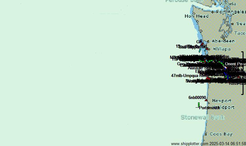
Portland - Vancouver area          Astoria area          Yaquina Bay
Click here to return to the OCRG home page.
(The image on this page should refresh every 90 seconds.)
(Range rings spaced at 100 nm, time stamp is Pacific Time)
Place mouse over ship icons for details.
Best DX today: TUNDRA 341°/ 86 nm at 03:34 Local by site g2